 | ||||||||||||||
|


 |
|
[ Back to Highways Main Page ]
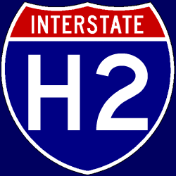 Interstate H-2
Total length: 8 miles (13 km) States traversed & length in each:
Major cities along route:
Junctions with non-related Interstates:
Related loops and spurs:
Length I’ve traveled: None Time zones:
Counties traversed: A quick hypertext drive: I have never been to the state of Hawaii at all, much less driven any of Interstate H-2. Oscar Voss’ Hawaii Highways website has this page with a few pictures of H-2. Interstate H-2 exists primarily to connect Wheeler Air Force Base and the Schofield Barracks Military Reservation to Honolulu and the Pearl Harbor Naval Station. It is otherwise a north-south highway that runs primarily through the central part of the island of Oahu. |